Build your LSL inventory
Send regular and non-regular crews into the field with intuitive data capture
With limited staff and resources, creating an accurate inventory is a monumental task. But a thorough record is critical to protecting your community and cutting costs.
Maximize the resources you already have by connecting your community digitally with Unearth.
Send regular and non-regular crews into the field with intuitive data capture
Get everyone involved in knocking on doors and documenting materials
Target and prioritize programs by grant, geography, or equity
Rapidly onboard crews, manage contractors, and streamline compliance
Improve communication both inside and outside your organization with easy access to a real-time record of inspection, replacement, and customer outreach progress. Comment in-app, tag team members, assign tasks, and export maps or reports with ease.
Ensure teams collect accurate and thorough records when unearthing service lines or entering customer homes. Unearth's simple, cloud-based platform can be deployed across the field in less than 48 hours, not weeks or months.
Target assistance to those most at risk with illuminating data organization. Connect to back-office systems, integrate new information, and centralize data collected in the field, so you can view a building parcel and see in real-time all records and activities attached to it.
Customers have higher expectations for service and transparency, regulators continue to strengthen water quality requirements, and neighborhoods recognize the need for improved resiliency. The Lead and Copper Rule is a symptom of this change.
Compliance with inventory and replacement goals misses a critical opportunity. Now is the time to leverage the people you already have, so you can document everything underground and be prepared when the next regulation comes along.
The EPA’s recent Lead and Copper Rule Revisions (LCRR) aim to get the lead out of millions of homes by strengthening the existing Lead and Copper Rule (LCR). Understanding these revisions and the upcoming improvements is critical to compliance and ensuring everyone has access to clean drinking water.
Are you a Public Water System with less than 5,000 connections? Committed to getting the lead out?
Small, underserved, or disadvantaged communities can contact us for free access to our rapidly deployable Mobile GIS.
With a grant from the EPA, Unearth will provide adoption and technology assistance to systems that qualify.
If you’re a water system with less than 5,000 connections, then yes!
You’ll have free access to Unearth’s Mobile GIS through 2024 for up to 15 users. After 2024, you can start a paid subscription or simply export all of the inventory data you’ve collected out of Unearth.
The data you collect is yours. If you no longer use Unearth, you can easily export your data in a shapefile - ESRI compatible - or excel format.
Unearth will meet with local communities to learn about specific site challenges, provide video or instructor-led virtual training, and may visit communities to provide additional on-ground assistance if needed.
Instantly collect and geo-locate photos, videos, and audio.
Live progress updates and intuitive data management.
Document scratch tests, LSLR, customer refusals, and other field work with ease.
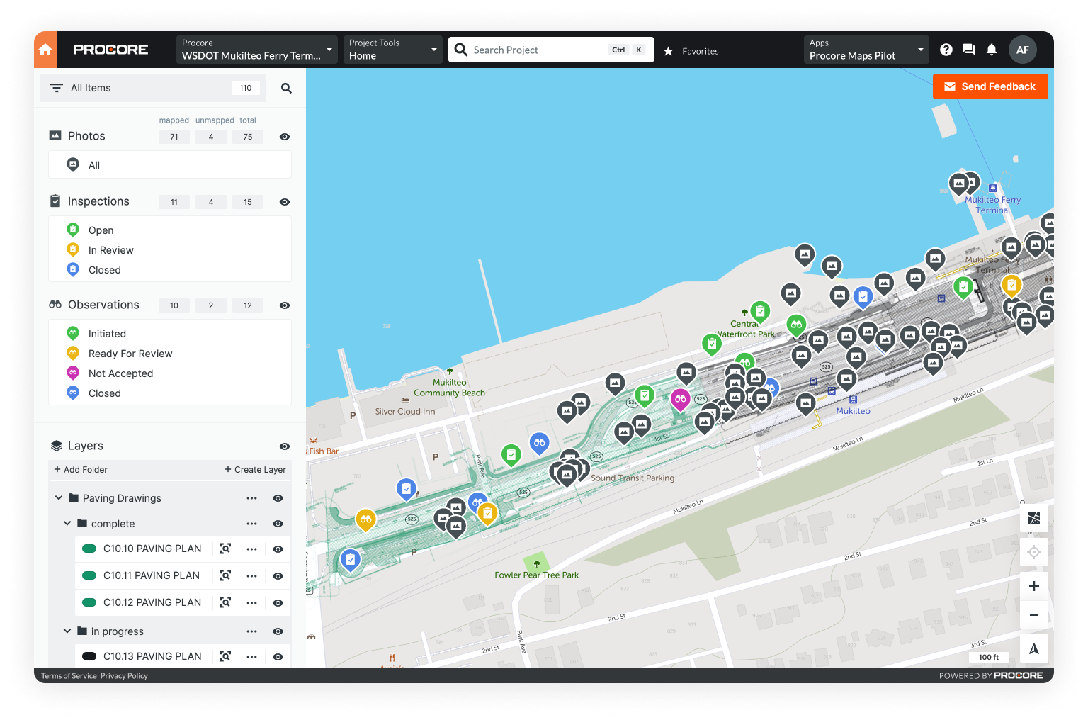
Monitor work on a dynamic map and geo-tag key data to building parcels.
Built to manage large data uploads in the field or office.
Automatic data syncing and offline capabilities with iOS and Android apps.
Conveniently ingest data, connect via API, and export reports.
Soc II Type II compliant software & secure AWS data storage.
Learn how Unearth's OnePlace can support you in lead service line documentation and replacement.