field data collection white paper on an ipad

EBOOK

Collect field data more efficiently with cloud-based tools

The most expensive part of any GIS project is often field data collection: a process that is frustrating, inefficient, and complex.

By enabling data capture, transfer, and storage from a single device, cloud-based geospatial software is the ideal solution.

Download the white paper to explore

disparate data points linked together
How disparate data sources and desktop GIS throttle effective field data collection
a data point stored in the cloud
Why cloud-based geospatial software is the best option for improving field data collection and storage
a process from start to finish
7 steps for implementing cloud-based geospatial software at your organization

Reimagine field data collection

Despite living in an age of advanced technology, field data collection still relies on a variety of point solutions: GPS devices, paper and pen, drones, etc. Once data is captured, it must be manually transferred to a desktop GIS platform, in order to perform mapping or analysis. This process is slow, complex, and often unreliable.

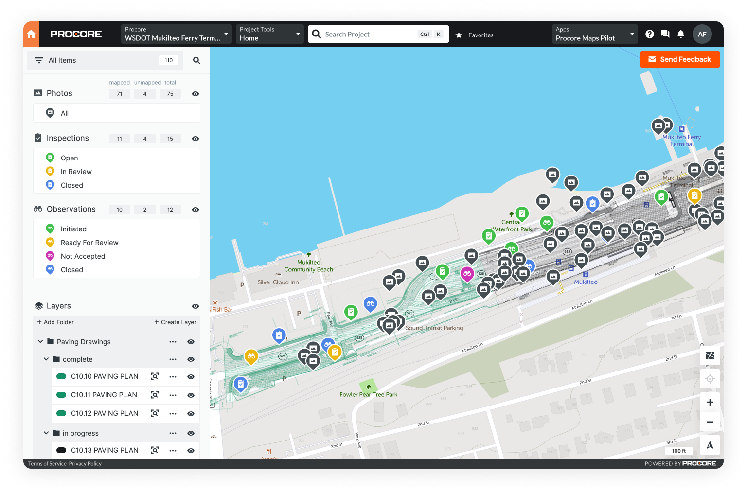
Cloud-based geospatial software brings the power of GIS directly into the field. It opens communication between field teams and the office, streamlines transfer into and out of desktop GIS, and acts as an automatic repository for all current and historical data.

Learn how to improve this process on a fundamental level and start implementing changes today.