
Get started today.
If you can send an email, you can use Procore. Building better is really that simple.
Photos
Capture your questions, skills, and results in a snap.
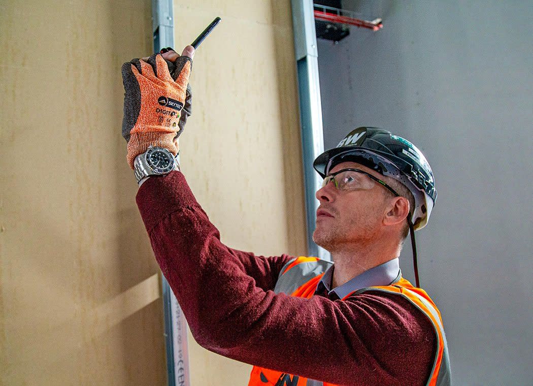
Capture, store, and share your project photos in a secure online archive.
Take photos from your smartphone, tablet, or computer
Store and organise an unlimited amount of digital photos
Mark up your photos with details and comments
Keep as many photos as desired within Procore's cloud-based construction project management platform. Procore doesn't charge you by the megabyte or gigabyte. All photos and project information is safe and backed up on multiple server hard drives.
Take a photo with your device and import it into Procore in seconds. Photos can be automatically shared with project team members and shared externally via email or smartphone.
Easily make your digital photos available to all team members with the appropriate permission settings. Those without permission can't see the photos, while team members with the proper authority can upload, view, and download photos.
Capture progress photos of your project from your mobile device and link them to project drawings by location. All photos sync to the Photos tab where you can quickly locate the picture you need via sorting and filters.
“With Procore it's instant, right from the mobile app.”
Dustin Burns
Vice President of IT
McCownGordon
If you can send an email, you can use Procore. Building better is really that simple.


